Diatom
Map green space. Track change.
Tree cover, proximity to green space, and change over time. Practical support for municipal green planning.
Explore DiatomWe help municipalities map green space and tree cover, track changes, and explore urban heat. Diatom turns satellite data into maps, indicators, and reports for planning and follow-up.
Tree cover, proximity to green space, and change over time. Practical support for municipal green planning.
Explore DiatomDAW-controlled lighting, video, scripts, and connected workflows on macOS.
Explore StudioToolsDiatom supports geospatial workflows, environmental monitoring, and practical decision support. StudioTools brings automation to recording environments.

Understand where green cover is changing and where heat coincides with impervious surfaces. We define the area and question together, then deliver material you can use.
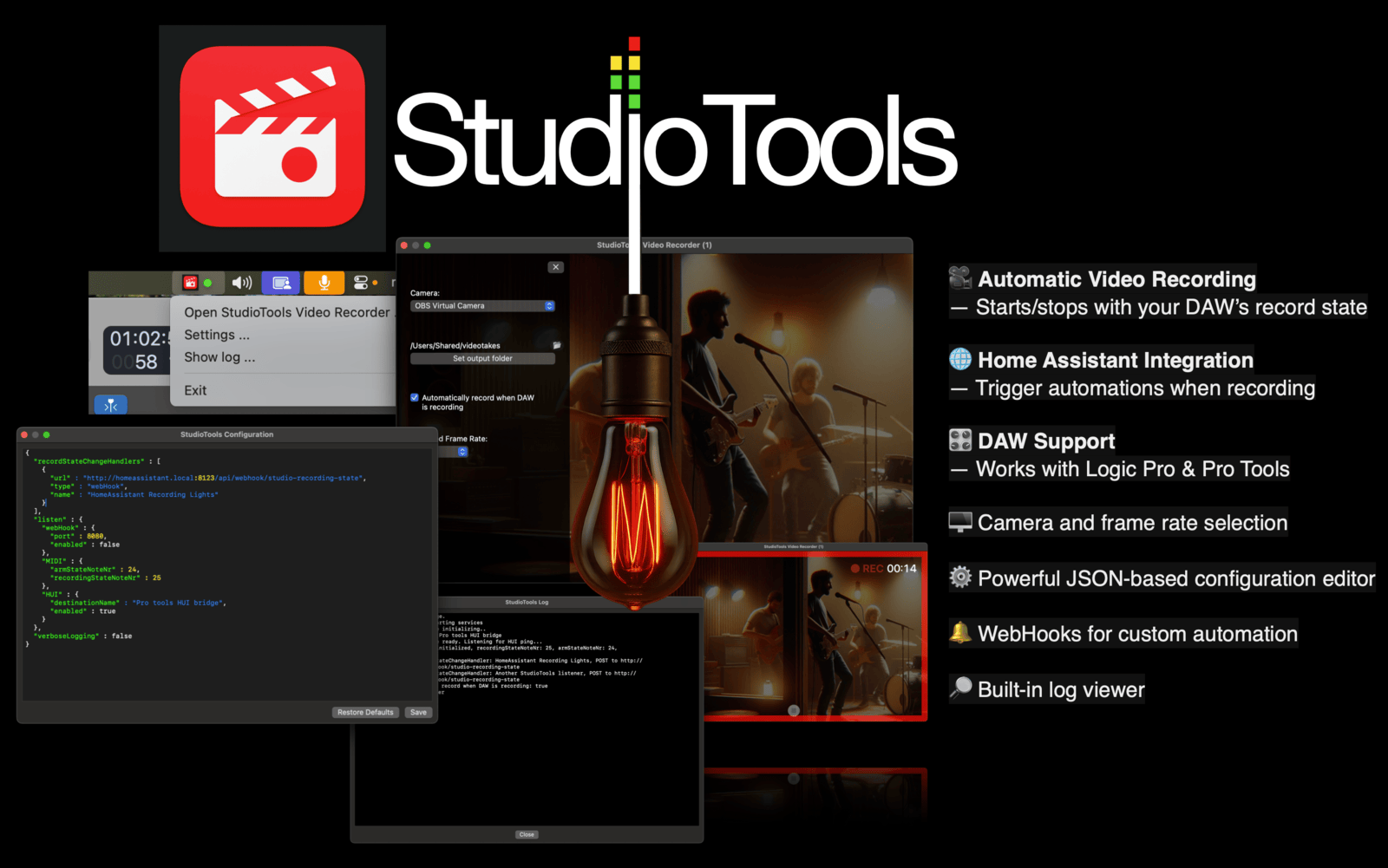
StudioTools is a separate product for studios that want their DAW's recording state to control lighting, video, scripts, and other connected workflows.
Support for municipal green planning and urban nature-restoration work, with maps, indicators, and reporting material tailored to your area.
Assess tree-canopy cover, proximity to green space, and change over time.
From green-space monitoring to climate screening: explore how satellite analysis supports municipal work.
StudioTools connects your DAW's recording state to automation, lighting, video, webhooks, MQTT, and custom scripts on macOS.
For teams and creators who want more connected, automated workflows in the studio.
Alongside our own products, NORNIO has contributed to projects in software, media, and applied technology. Here is a selection of that work.


Get in touch to discuss a pilot, explore an application, or find the right product page.